x
hclab. 都市研究室エイチシーラボ

Main menu

Skip to content
  • ホーム
  • works
  • people
  • ダウンロード
    • hclab. StreetView 起動テスト
  • オフィス

Monthly Archives: 8月 2016

analyzing, research

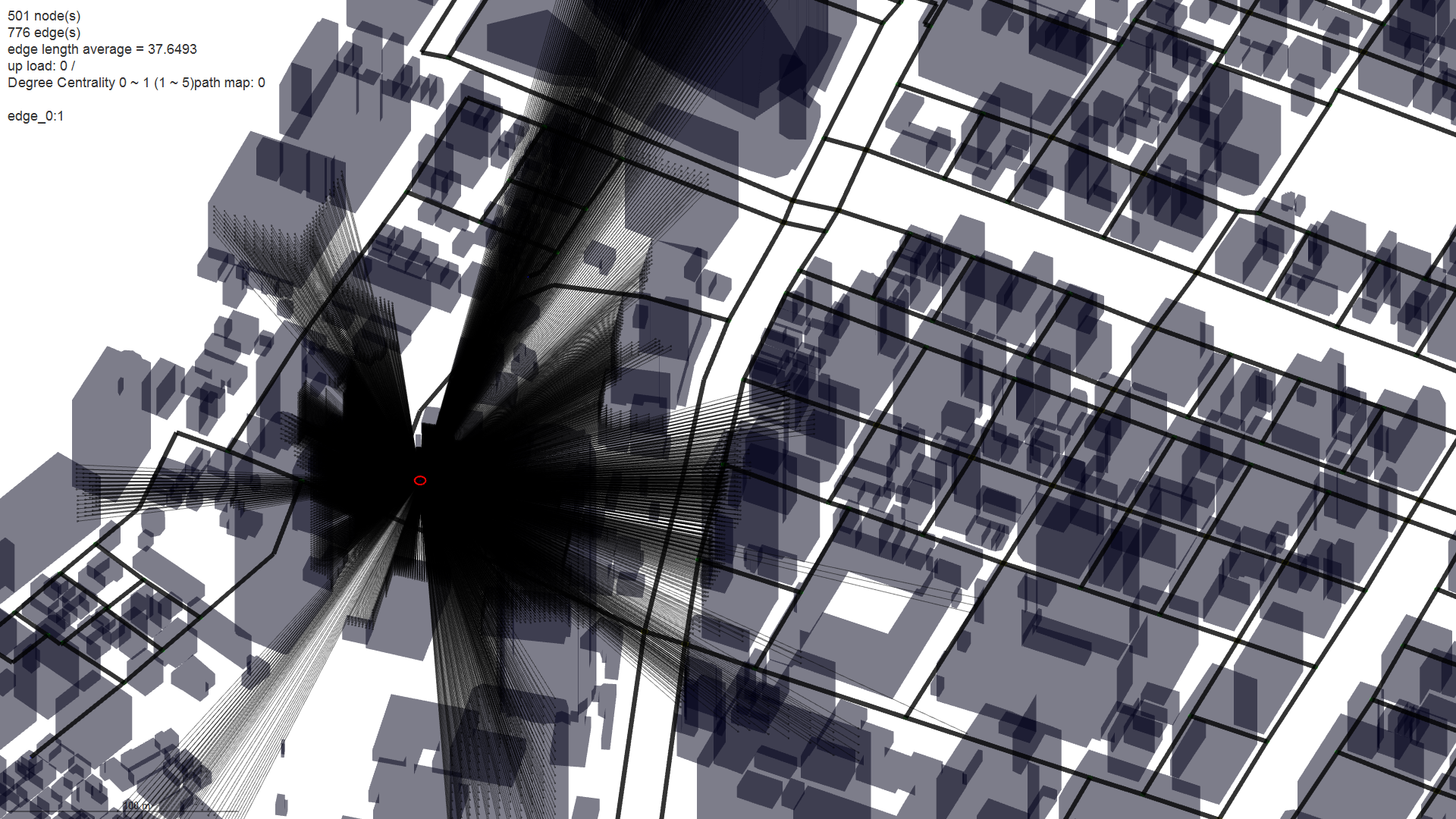
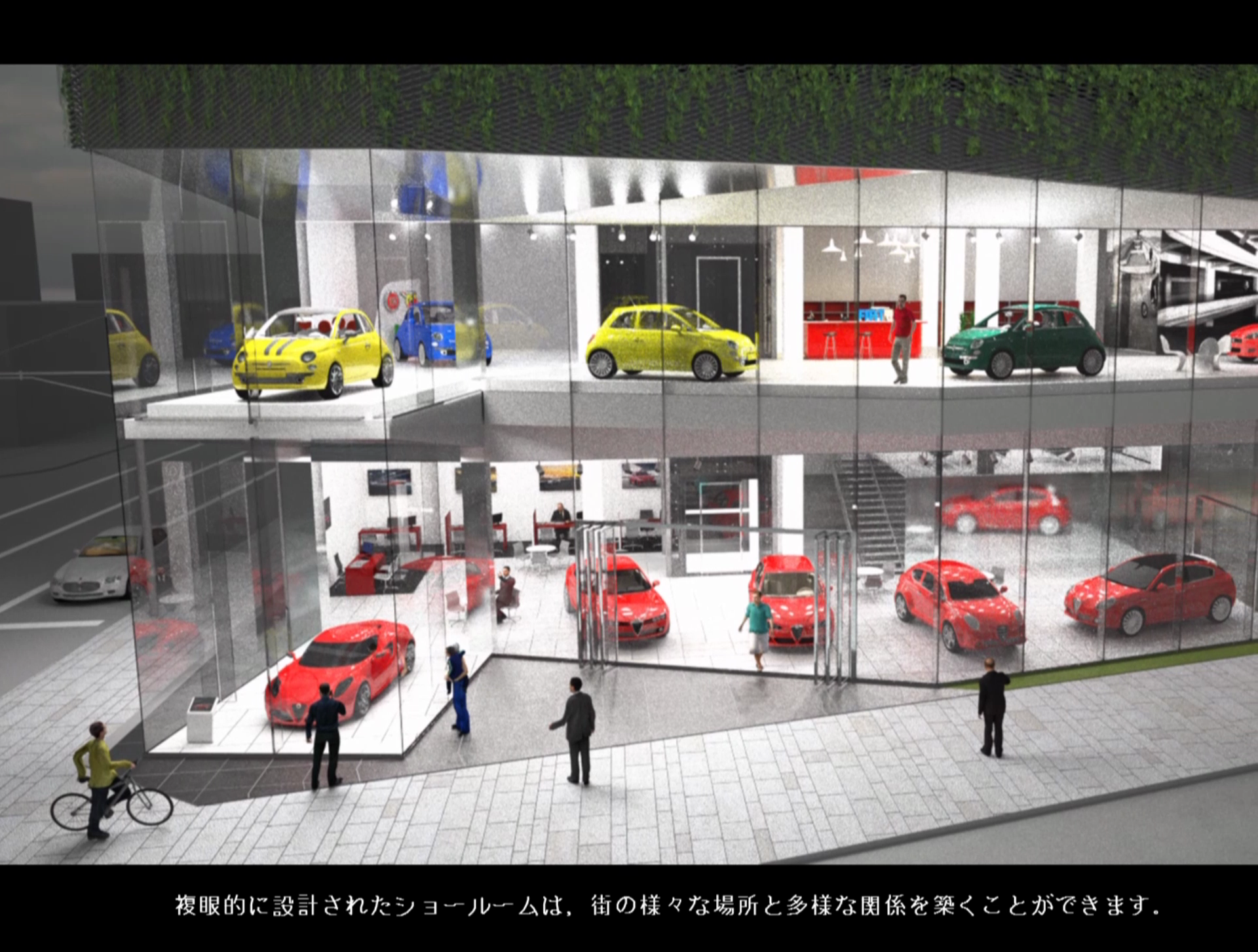
Evaluating visibility of vehicles—— How much can we see vehicles from a street?

Author hclab Date 8月 25, 2016
Imai lab. IIS, The University of Tokyo + hclab. + LOW FAT structure.Inc
analyzing, research

Evaluating Accessibility to parking lots

Author hclab Date 8月 24, 2016
A store owner in an area where public transportation network is not very developed wants...
analyzing, research

Evaluating Openness index of streets.

Author hclab Date 8月 24, 2016
We can consider “Openness of street” as one conventional comfort index. In order to...
Categories
  • news
  • Uncategorized
  • 出版
  • 実験
  • 研究
  • 解析
  • 講演・レクチャー
Latest Posts
  • 内覧会のご案内
  • 早稲田まちづくりシンポジウム2019
  • GA JAPAN 156
  • エンジニアド・デザイン ──一点突破から考える工学的プローチ
  • 建築情報学会キックオフ準備会議第5回(目黒区・12/14)
  • 鹿児島大学工学部 建築学科+鹿児島支所 特別講演会 2018
  • 2018/11/24 東洋大学大学院経済学研究科公民連携専攻「まちづくりビジネス論 」にて講演を行います。
  • GA JAPAN 152
  • " New working relationship for city regeneration; authorities, companies and citizens "
  • LEXUSミラノデザインウィーク2018
Recent Comments
  • hclab. | ”Time Distance Map” of WTC (World Trade Center) in New York and CCTV (China Central TV) in Beijing: […] represent time distance from entrance to all places in […]
  • hclab. | WTC (NY) , CCTV(Beijing) Time-Distance: […] エントランスからの建物内部各所への時間距離帯連ç
  • feed back, step プロセスを行う構成 | Adaptive Morphology MAS-GRAPH: […] ↓このあたりのサンプルはすべてこの構成です。 ã‚
  • hclab. | Sequential Time-map on directional weighted graph (street network): […] 見なし距離を縮める装置としての交通網図 […]
Archives
  • 2019年8月
  • 2019年7月
  • 2019年6月
  • 2019年4月
  • 2018年11月
  • 2018年7月
  • 2018年6月
  • 2018年5月
  • 2018年2月
  • 2017年12月
  • 2017年7月
  • 2016年12月
  • 2016年8月
  • 2016年7月
  • 2016年6月
  • 2016年3月
  • 2016年1月
  • 2015年12月
  • 2015年8月
  • 2015年6月
  • 2015年5月
  • 2015年4月
  • 2015年2月
  • 2014年11月
  • 2014年10月
  • 2014年9月
  • 2013年12月
  • 2013年4月
© hclab. 都市研究室エイチシーラボ