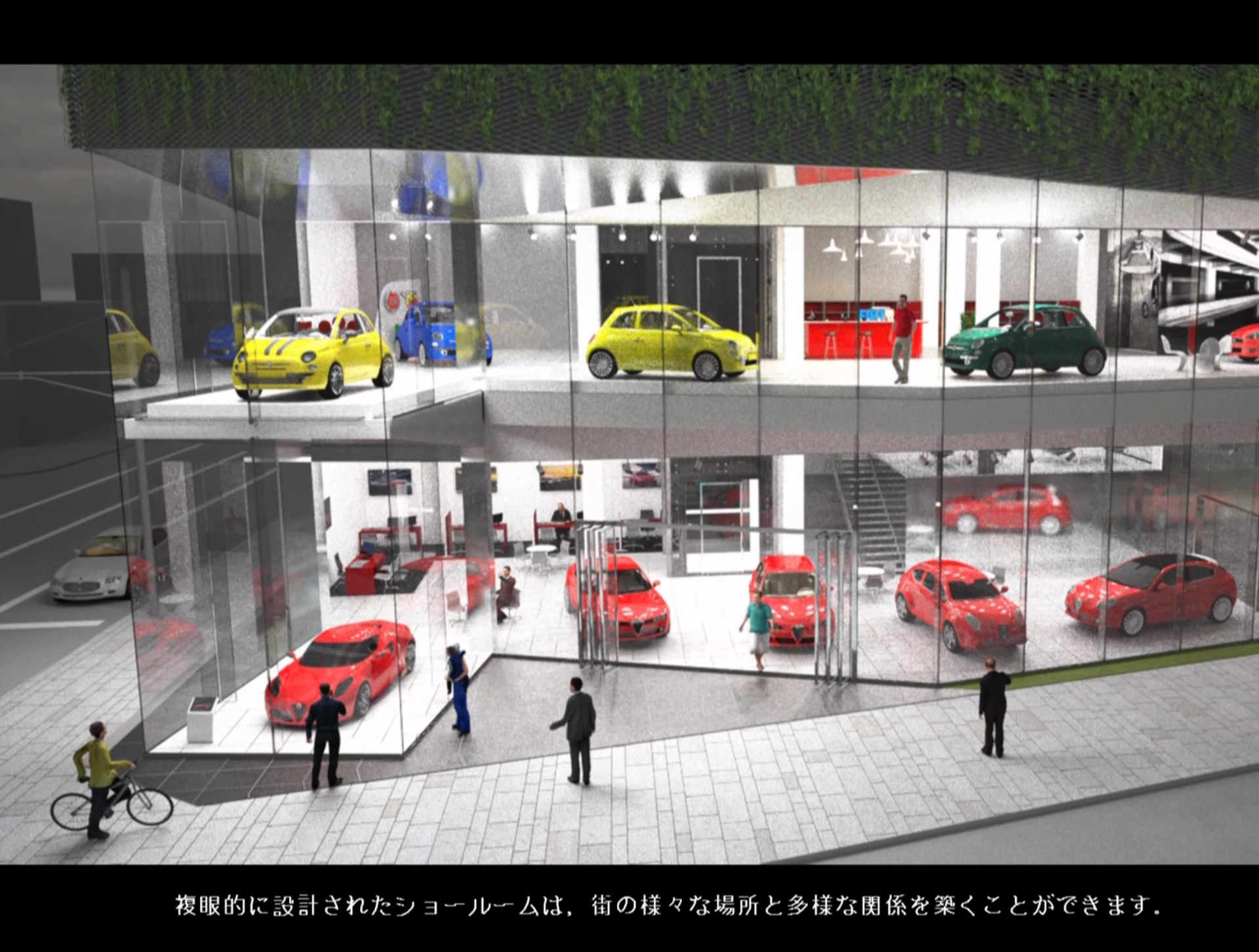
analyzing, research Evaluating visibility of vehicles—— How much can we see vehicles from a street? Author hclab Date August 25, 2016 Imai lab. IIS, The University of Tokyo + hclab. + LOW FAT structure.Inc
analyzing, research Evaluating Accessibility to parking lots Author hclab Date August 24, 2016 A store owner in an area where public transportation network is not very developed wants...
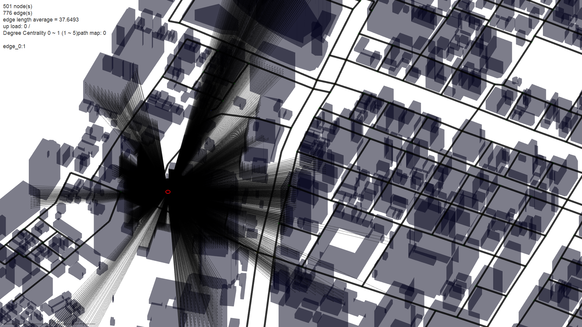
analyzing, research Evaluating Openness index of streets. Author hclab Date August 24, 2016 We can consider “Openness of street” as one conventional comfort index. In order to...
analyzing, research, Test What if we can cancel the restriction of one-way street in Kyoto? Author hclab Date August 6, 2015 Min-Max is a decision rule used in decision theory, game theory, statistics and for...
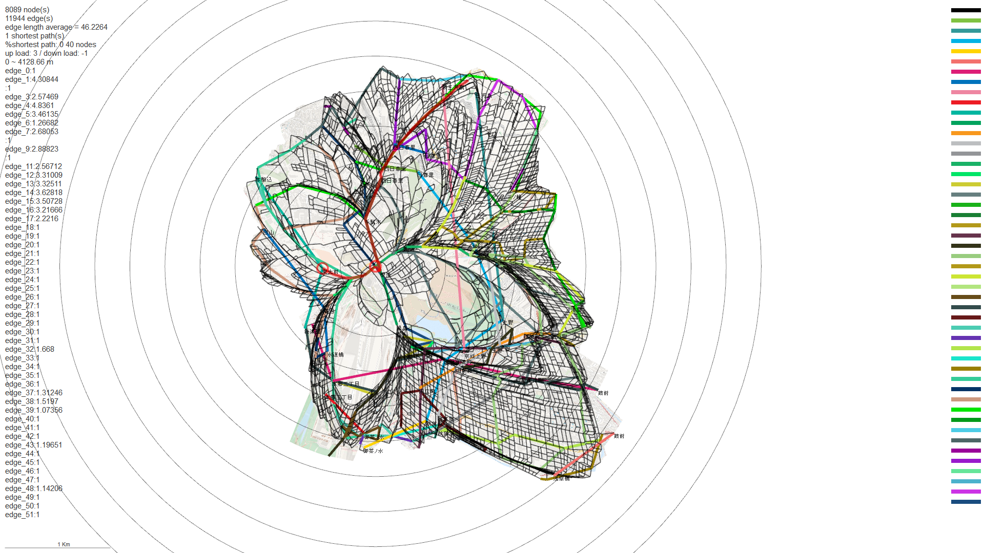
research, Test Sequential Time-map on directional weighted graph (street network including public transportation on slopes) Author hclab Date April 28, 2015 This example is about Tokyo Ueno area. Considering about undulating terrain can be ignored...
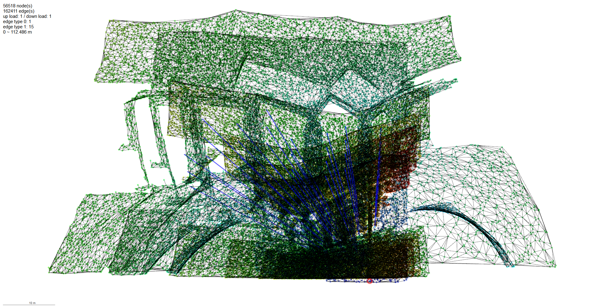
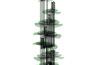
research, Test Time-Distance map of typical floors Shinjuku Mitsui building. Author hclab Date February 23, 2015 If we discretize continuous space by using random delaunay network, it becomes possible to...
research, Test ”Time Distance Map” of WTC (World Trade Center) in New York and CCTV (China Central TV) in Beijing Author hclab Date October 4, 2014 Animation represent time distance from entrance to all places in WTC. Bank segmentation of...